
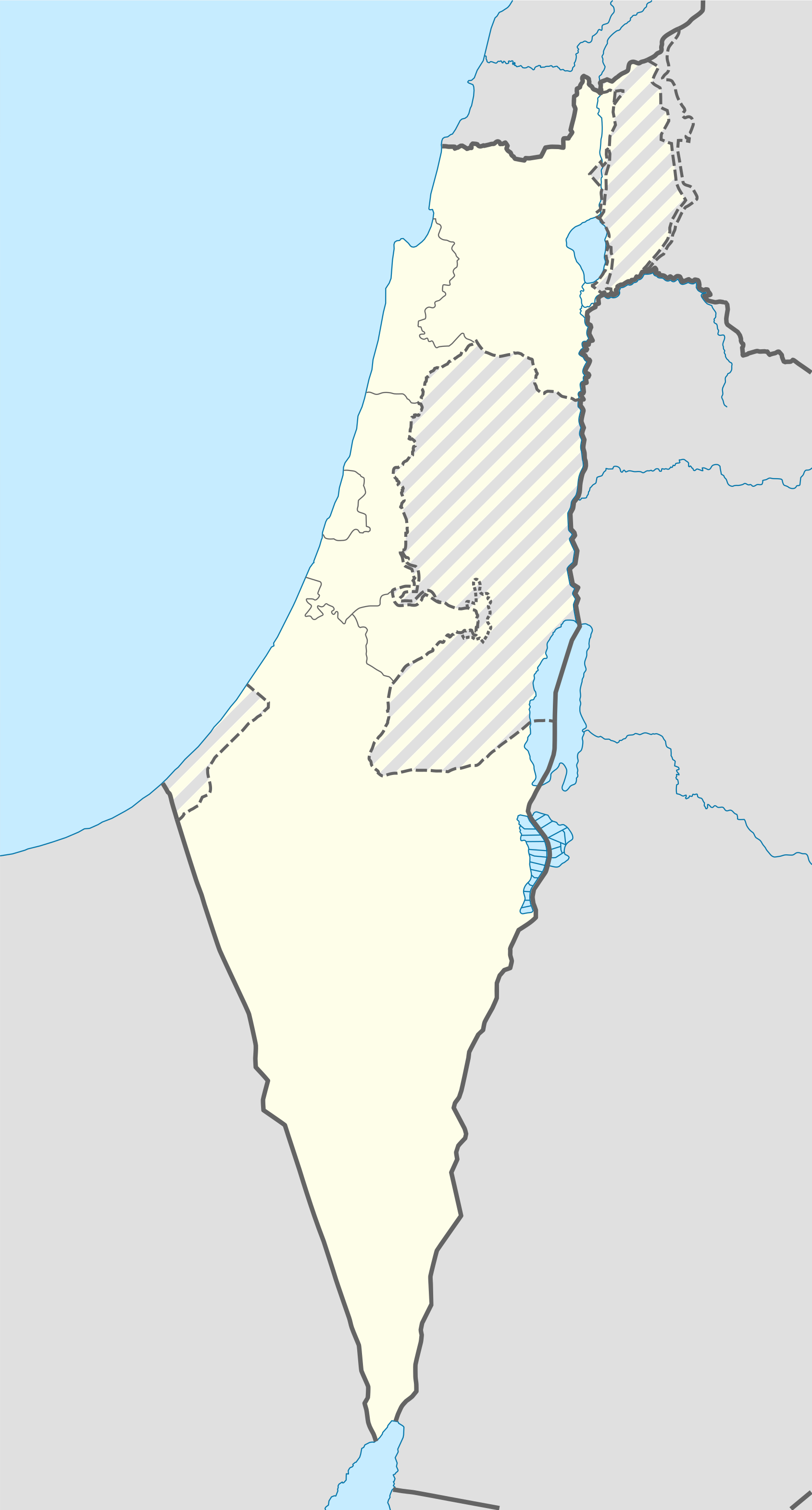
Template:Israeli-Palestinian conflict detailed map

Nitzana border crossing
Netafim border crossing
Meged oil field
Heletz oil field
Ben Gurion Airport
Haifa Airport
Jerusalem International Airport
Ovda Airbase
Ramon Airport
Wadi Araba Crossing
Kerem Shalom border crossing
Jordan River Crossing
Allenby Bridge
Erez Crossing
Hold cursor over location to display name; click to go to sources &/or status description (if available, the cursor will show as  ; if not, it will show as
  ).
).
 Dam;
Dam;  Rural presence
Control
 Stable mixed control
Contested -- SHOULD ALWAYS BE A MIN MARKSIZE SIZE OF 8
![]() Inner controls, outer sieges (or strong enemy pressure);
Inner controls, outer sieges (or strong enemy pressure);
![]() Enemy pressure from one side; Small icon within a larger icon: The situation in individual neighbourhood/district
Enemy pressure from one side; Small icon within a larger icon: The situation in individual neighbourhood/district
![]() Airport/Air base;
Airport/Air base; ![]() Heliport/Helicopter base;
Heliport/Helicopter base;
![]() Military base;
Military base; ![]() Strategic hill;
Strategic hill; ![]() Oil/gas;
Oil/gas;
![]() Industrial complex;
Industrial complex; ![]() Border Post;
Border Post; ![]() Major port or naval base;
Major port or naval base;
| This template may have no transclusions. This is because it is substituted by a tool or script, it is used as part of a short-term or less active Wikipedia process, or for some other reason. |
| This template uses Lua: |
Transclude this template by using {{Israeli-Palestinian conflict detailed map}}. No parameters should be provided.
How war map templates work with other parts of Wikipedia
[edit]